

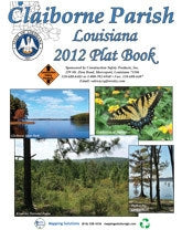


Forestry Maps, Atlases & Stereograms for Land Management
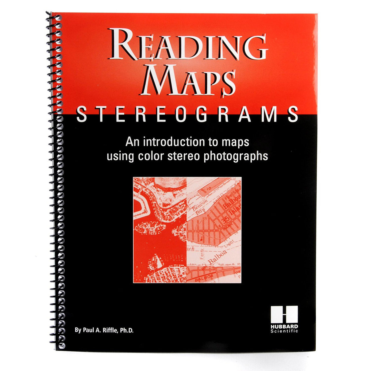
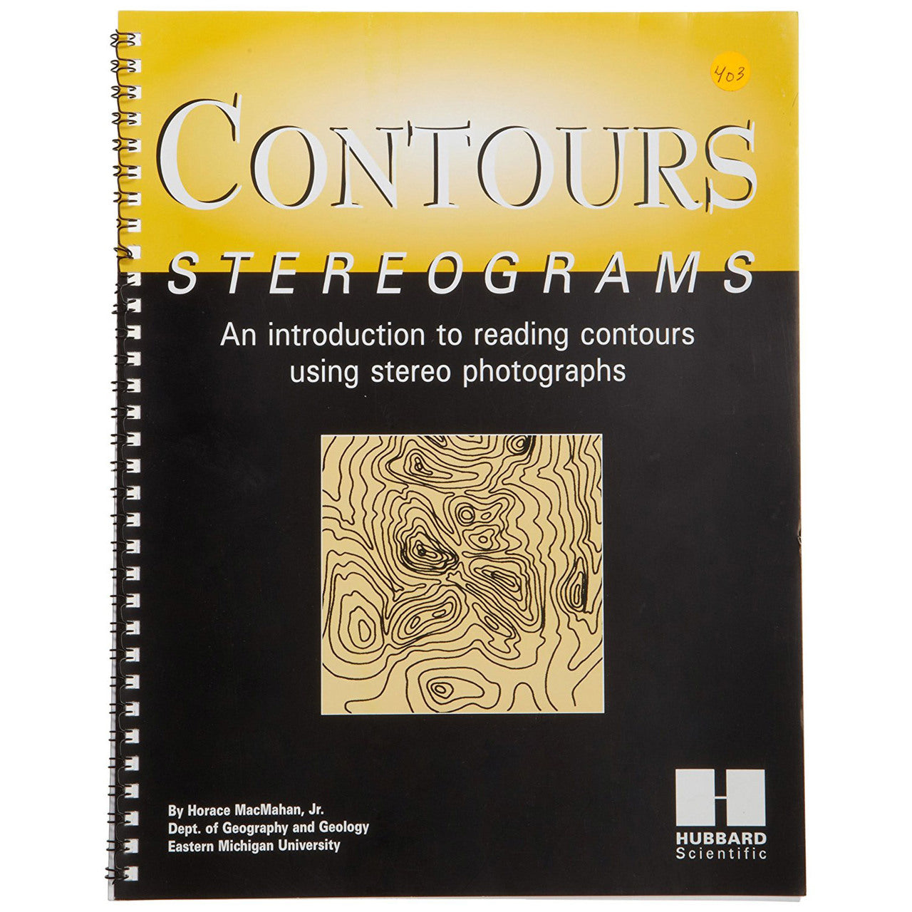
Accurate spatial information is fundamental to effective land and timber management. Our maps, atlases, and stereograms collection includes reference materials for forestry professionals, land managers, and field crews. Aerial photo stereograms enable 3D interpretation of forest stand structure, topography, and land cover — an essential tool for timber cruising, stand delineation, and land-use planning.
Pair mapping resources with compasses, clinometers, field books, and laser range finders for complete field navigation and mapping capability. Our surveying and mapping collection offers the full range of instruments and supplies used by professional foresters and land surveyors.
Frequently Asked Questions
What are stereograms used for in forestry?
Stereograms are paired aerial photographs that, when viewed through a stereoscope, create a 3D view of the forest canopy and terrain. They are used by foresters to interpret stand structure, identify species, and plan timber harvests and land management activities.
Do you sell topographic maps for forestry use?
We carry forestry reference materials including atlases and maps for field navigation. For current topographic maps, USGS and state-specific mapping resources are also widely used alongside our compasses and navigation tools.