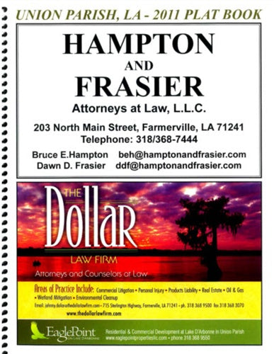
Union Parish, Louisiana Landowner Plat Map Book
The Union Parish Plat Book includes the following:
Key Map of Union Parish
Map Legend
Locator Map of Union Parish, Louisiana
Union Parish Township Road & Land Ownership Maps (by Township and Range)
Alphabetical Index of Landowners in Union Parish
Union Parish Business Directory
Land Descriptions (on the inside back cover of the Plat Book)
Our Plat Books contain maps that concentrate on landownership, acreage and parcel boundaries; mainly in non-urban areas. They show detailed maps by individual Township and may include but are not limited to public and private roadways, waterways, railways, section lines, municipal boundaries, etc. A handy Landowner index allows for easy identification of any rural landowner in the parish.
They typically contain a variety of other information and custom maps to enhance the value of this unique reference material. They are always custom built to client specifications and can include Specialty Maps like School Districts, Fire Districts, Voting Precincts and anything else that is pertinent to the parish.
We have Land Ownership Map Books for
Caddo Parish,
Desoto Parish,
Union Parish,
Bienville Parish,
Red River Parish and
Claiborne Parish. Other Parish Land Owner Maps coming soon.
Construction Safety Products can handle all your mapping needs. We carry atlases for backroads, state roads and street finders. We have quad maps and nautical charts, raised relief state and USGS regional maps as well. For any mapping item not found on our website, please contact us at 318-213-6488 or
email our sales department.
Louisiana Legislature created Union Parish on March 13, 1839 from Ouachita Parish. In the latter 17th century, the French hunters, trappers and traders appeared first and operated along the Ouachita River valley until the Natchez Indian massacre in 1729, which frightened away any developers for awhile. In the 1940's and 1950's, the French settlers meandered north and named many of the Louisiana bayous and praries. By the 1970's, the region served merely as hunting grounds for Indian and French trappers. The earliest known permanent Eurorpean settler of what is now Union Parish, John Honeycutt, Sr., arrived in the Ouachita Valley region with his family between 1790 and 1795. He obtained the first Spanish land grant that later fell into Union Parish.
Union Parish experienced incredible growth during the twenty-four year period 1837-1861, with settlers arriving from Mississippi, Alabama, Tennessee and Georgia. To handle this influx of immigrants, The Union Parish police jury authorized the construction of a courthouse and grogshop (tavern) in Farmerville, and numerous ferries, bridges and roads all over the parish. Communities started to form requiring the services of at least one newspaper, numerous physicians, lawyers and merchants, as well as cabinet makers, wagon makers, blacksmiths, tailors, carpenters, brick masons and millers.
Union Parish, Louisiana, is one o the few counties (parishes) in the United States to border its namesake in another state -- in this case, Union County, Arkanasas.

