Features & Benefits
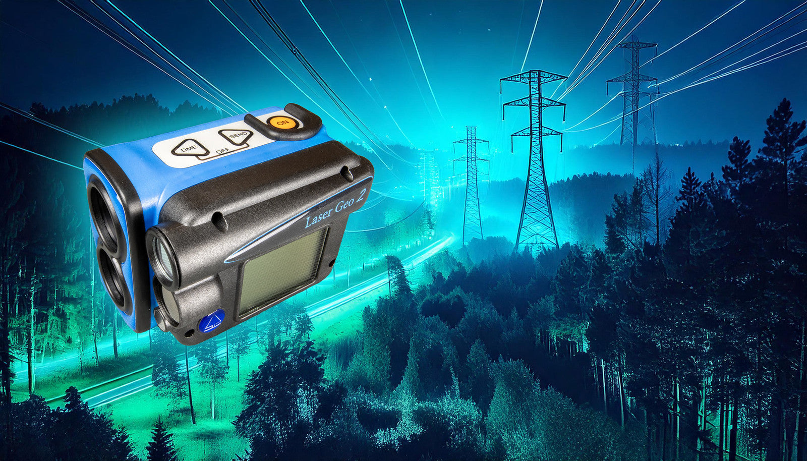
The LASER Geo 2’s unique capabilities allow you to measure, map, process and store forest and field data in ways you never thought were possible!
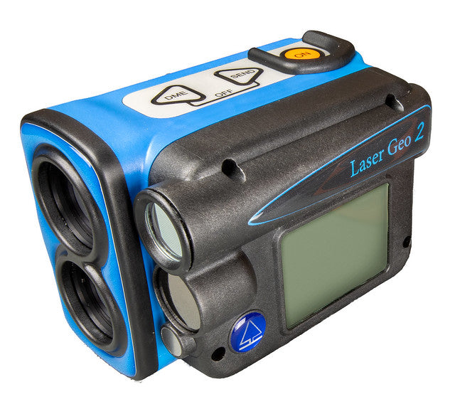
Long-range measurement with high-precision laser and integrated tilt and compass sensors for accurate 3D measurements. Results are displayed on an integrated heads-up display and an external graphical display.
Programmable
The Laser Geo 2 instrument features an advanced platform that allows you to download and install new apps tailored to your requirements. Additionally, we can create a custom app based on your specific preferences.
Upon delivery, the instrument includes a pre-installed Standard App, which offers the same functions as its predecessor Laser Geo, along with enhancements and new features like Remote Diameter.
Standard applications Laser Geo 2
Explore all measurement capabilities with the Laser Geo 2, equipped with the Standard application. Whether you’re measuring heights, distances, or mapping and processing forest and field data, Laser Geo 2 makes the impossible possible!
Key Features:
-
Long-Range Precision: High-precision laser technology for accurate measurements over long distances.
-
Advanced 3D Measurements: Integrated tilt and compass sensors ensure precise 3D data.
-
User-Friendly Displays: View results effortlessly on the integrated head-up display and external graphic display.
Transform your data collection and processing with Laser Geo 2 – the ultimate tool for precision and efficiency!