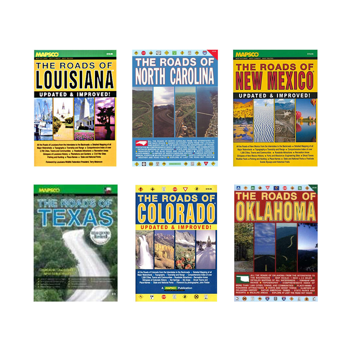
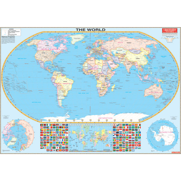
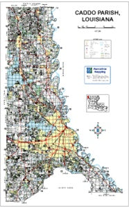
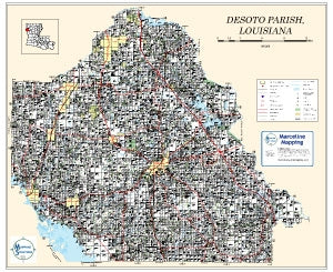
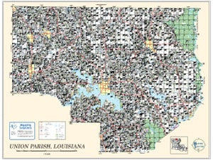
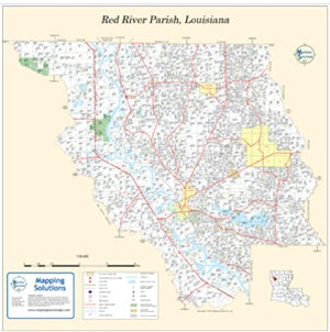
Maps, atlases, and stereograms are tools used for navigation, exploration, and studying geographic information. Maps are flat representations of an area, showing physical features such as roads, rivers, mountains, and cities, while atlases are collections of maps covering various regions or themes. Stereograms, on the other hand, are 3D images that can be viewed with a special viewer or by crossing one's eyes to create an illusion of depth. These tools are used by a variety of professionals, including geographers, cartographers, archaeologists, and travelers, as well as for educational purposes.